The driver pulled to the side of the road by an old faded sign with flaking paint. I pulled my backpack from the car and pointed, asking “that way?” Yes he said, that was the way. Then he pulled off and left me there alone as I shouldered my pack and started going.

I signed up for this. It was listed as a moderate to strenuous hike, but I figured, how bad can it be?
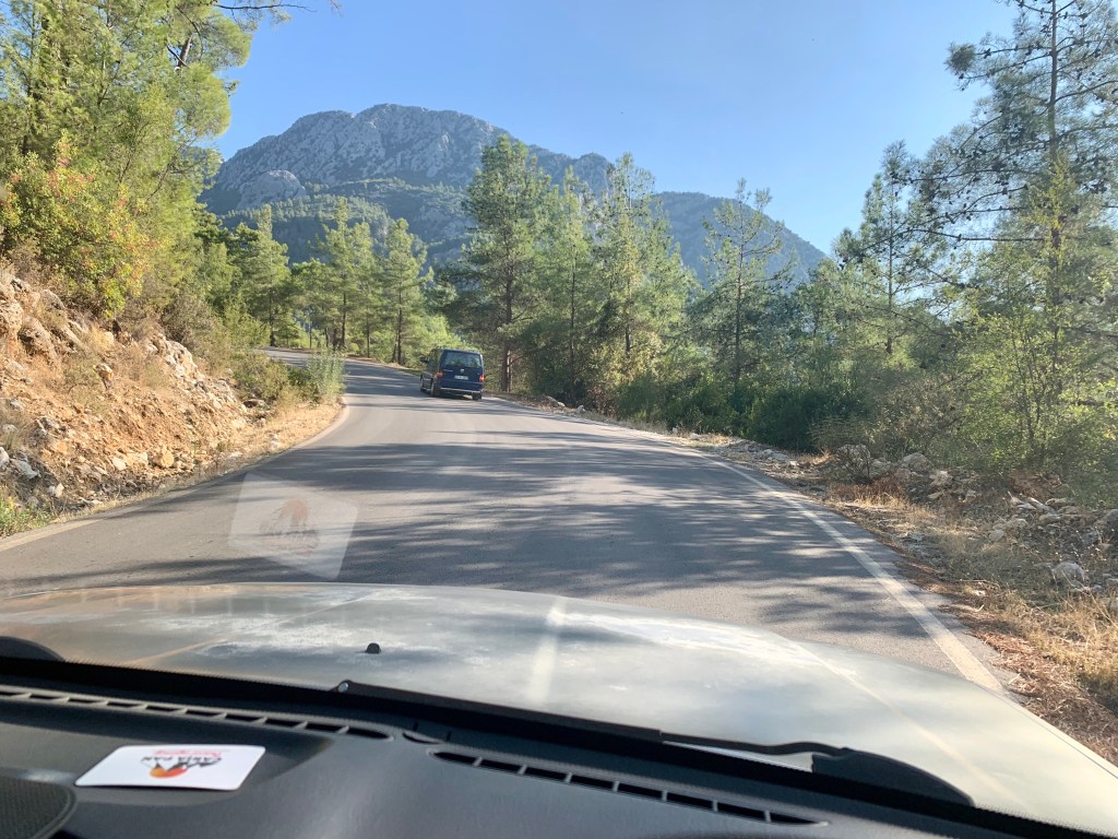
The driver didn’t think it was bad. During the hour and half drive from town we had a chance to talk. When I asked him about my hiking poles he didn’t think I would need them. I asked about trail markings, because I had read that the Lycian Way hiking trails are marked in the French system using red and white markers. He said it was no problem. Plus I have GPS. I won’t get lost.
It was all no problem. Then again, he’s not the one who had to hike 13 miles today.
As it turns out, planning this trip hasn’t been straightforward, and it’s more than just the flights. Early on, I contacted some travel agencies who were unable to help me plan my time, saying “It’s not a good time to travel. Haven’t you heard there’s a pandemic?” So when I stumbled upon hiking as a possibility, my heart leapt. If you know me, you know I’m not an experienced hiker, even if I did hike the Inca Trail. And honestly I loved that, but still, as I read about this trek some things concerned me.

Navigation was the big one. I don’t know how to read trail markings. And experience was another sticking point, as this trek is described as “moderate to strenuous.” The British woman running the travel company insisted I would be fine. She was more concerned that I might have to quarantine on returning home (to which I told her the US is doing terribly, and anyplace in the world I would go would be lower risk).
I even asked a colleague at work who said the hike sounds great, and I’d be fine.
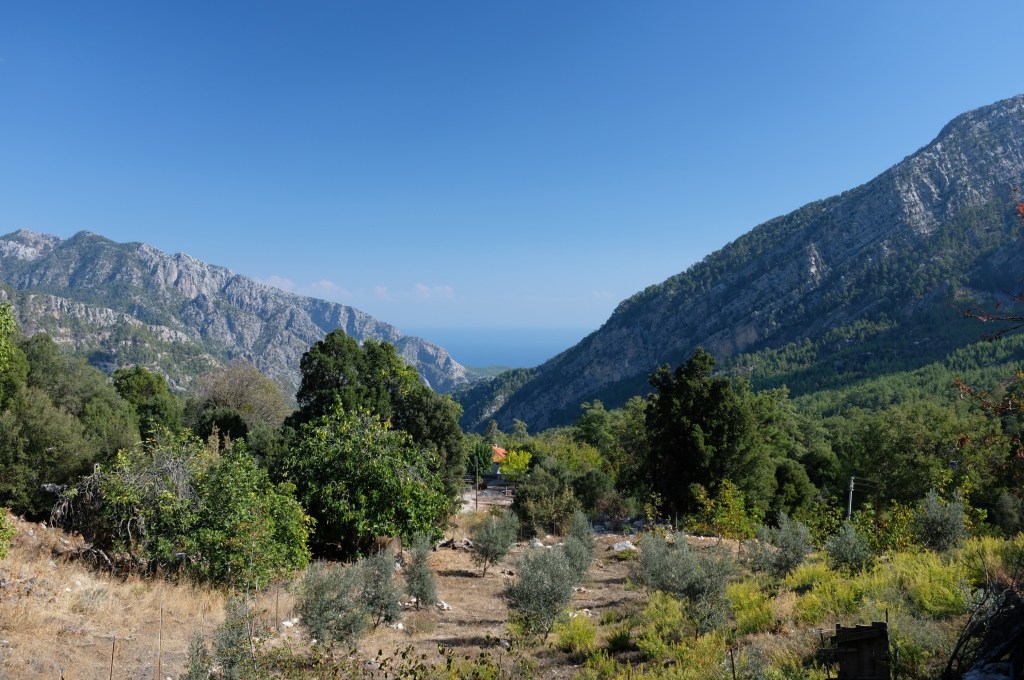
So here I was, deep in the Taurus Mountains in Southern Turkey, alone, hiking through the woods.
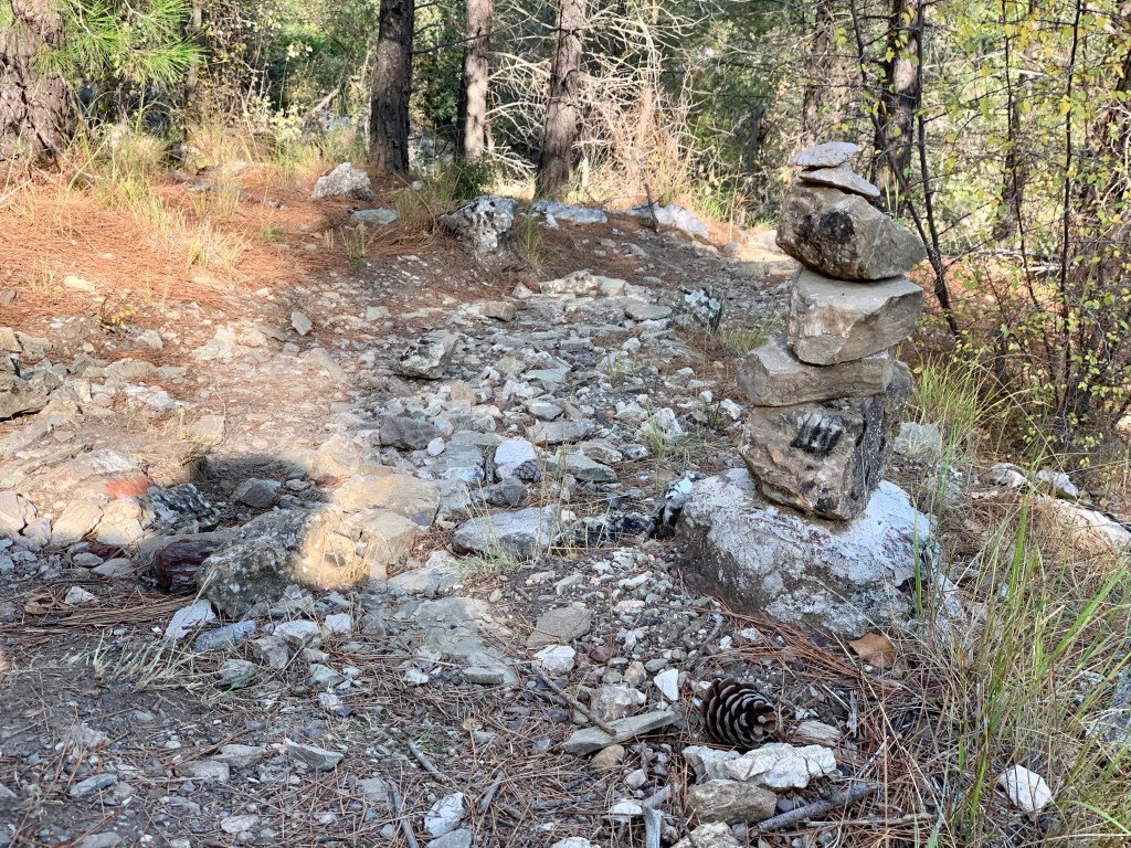
It started simply enough. I quickly found my first trail marker and learned to watch for them. Sometimes other hikers leave piles of stones as well. I periodically checked my progress on the app on my phone to ensure I was on course.
The trail was reasonably clear as the day started and I settled into the rhythm of the hike. They had prepared me for hiking through farms and opening strange gates to make my way forward. I even met a goat, who didn’t seem like me hiking through his paddock.
Overall, things were going really well until I approached the halfway point. And suddenly lost all of the trail markings. It started when I followed the footpath (not markings) and realized I was off course. I doubled back.
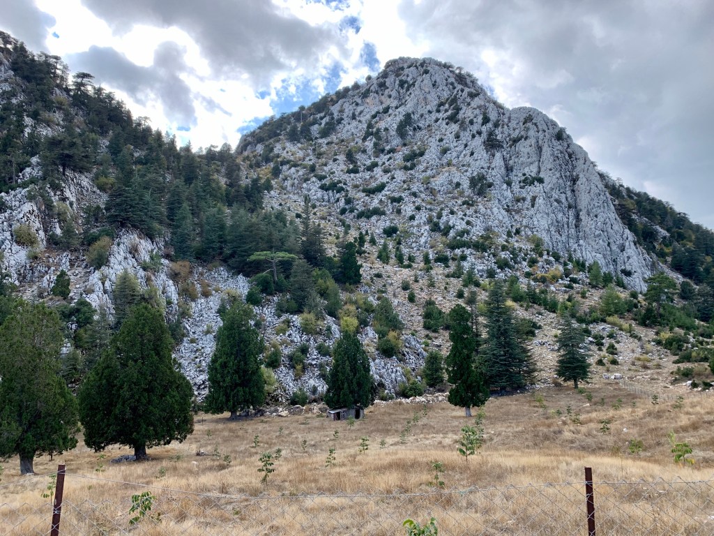
I was now going purely by GPS. It showed I was on the trail, but no trail was evident. I fought upward (was this right? this hill? – don’t worry – it’s not the one in the photo) and was desperate for any sort of marking, but none was forthcoming. Still, the map on the phone insisted I was going the right direction. Finally, exhausted, at the top I found a marker, and breathed a sigh of relief.
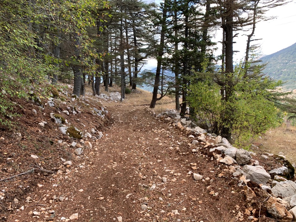
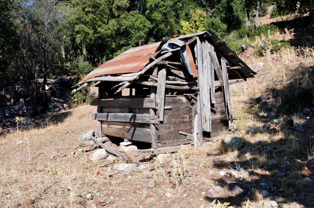
The rest of the day continued like this. Mostly easy going, sometimes on old forest roads, sometimes on the barest of footpaths, with occasional bouts of being entirely lost.

At the end of the day, 13 miles in (it was supposed to be 12, but I did extra) I was thrilled to see my hotel looming on the horizon. And I was ready to rest my tired feet.
The day had been exhausting.
But it was exhilarating.
And it was glorious.

Awesome!